What we do
Our GIS technology team is responsible for managing and maintaining the Parish's geographic information system, ensuring that it is accurate and up-to-date. We provide mapping and analysis services to support decision-making and planning efforts.
The team also manages projects with outside agencies or consultants involving the use of GIS and to provide geography to selected features.
Parish GIS Map
The Terrebonne Parish GIS Map includes services, council districts, schools, and more. Let us know if you have any questions.
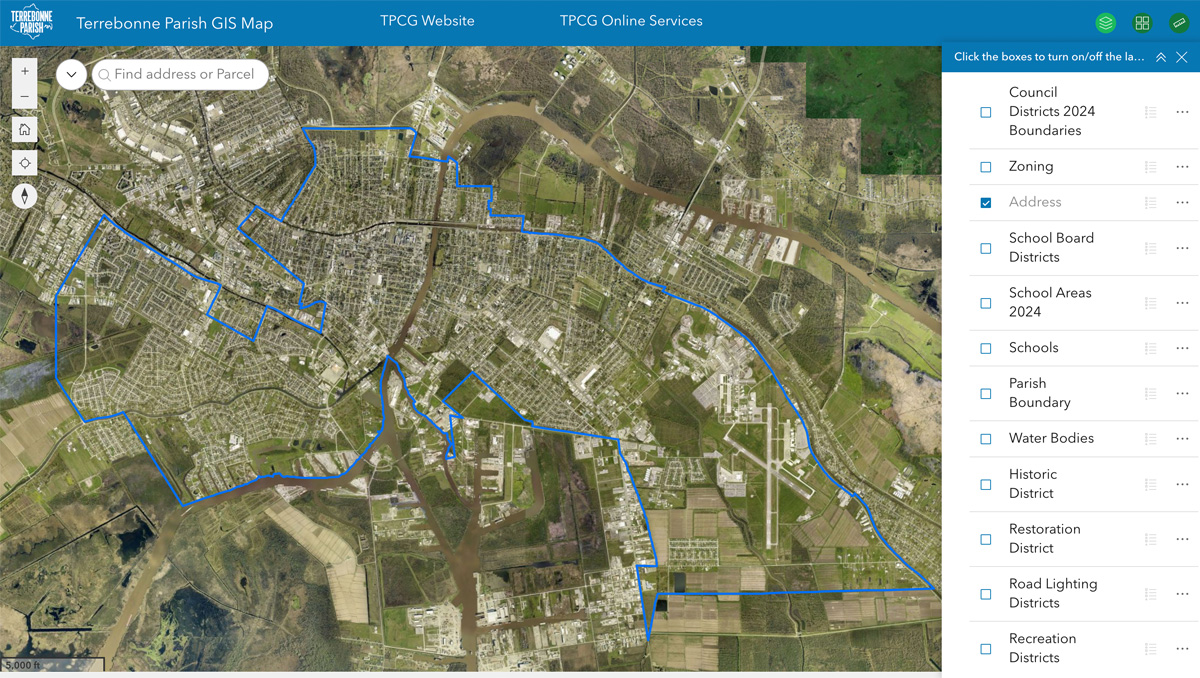
Sample of our map
Disclaimer: The imagery shown is representative only and does not have survey or engineering accuracy. Every effort has been made to make available the most accurate and current assessment data possible.
The Terrebonne Parish Assessor's Office makes no warranties, express or implied, regarding the completeness, reliability, or suitability of the site data and assumes no liability associated with the use or misuse of said data.
The Assessor retains the right to make changes and update data on this site at anytime and without notification. If you believe any of the data presented is incorrect, please contact the Assessor's office at (985) 876-6620.
Reminder from the Department of Planning and Zoning
Proposed Zone and Base Flood Elevations: Use the Louisiana Flood Maps from LSU Ag Center to find proposed zone and base flood elevations. Enter an address in the Find an Address space at the top of the page to quickly identify the proposed base flood elevation for a property.
The LSU Ag Center site provides estimations based on LIDAR and address information. Terrebonne Parish residents should contact Lisa Ledet or Linda Gros with Planning and Zoning at (985) 873-6567 if an official determination is needed.
Location
Government Tower
8026 Main Street, Suite 405
Houma, LA 70360
Contact
bdomangue@tpcg.org
(985) 850-4680
Hours
Monday - Friday
8:00 AM to 4:30 PM